 Tiếng Việt
 English


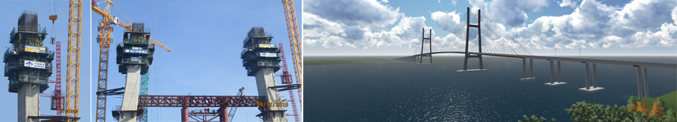


Figure 1: The Ground Breaking Ceremony of the Project: Road from Vo Chi Cong
Road to Dong Que Son Industrial Zone connecting NH.14H and NH.1A
The coastal road of Quang Nam province (Vo Chi Cong road) locates to the East of the province, from Hoi An Ancient Town (Da Nang – Hoi An coastal road) to Chu Lai airport, with total length of 69 kilometers, planned cross section of the pavement of 38m with 4 traffic lanes. The road is included in the Vietnam’s coastal road network masterplan which is approved by the Prime Minister at Decision No. 129/QD-TTg dated 18/01/2010. This is an important route, a backbone to the East of Quang Nam province, which not only reduces the load of NH.1A but also plays an important role in the promotion of trade, economic, cultural, tourism development, ensuring the national defense and inter-regional connections.
Project component 2: The road from Vo Chi Cong road to Dong Que Son Industrial Zone connecting NH.14H and NH.1A under the Coastal Road No. 129 (Vo Chi Cong Road) Completion Project was approved by the People’s Committee of Quang Nam Province as per Decision No. 1416/QD-UBND dated 25/5/2022. When completed, the road will connect the traffic from Chu Lai airport to industrial zones in Thang Binh and Que Son districts, to NH.14H through Hoi An Ancient Town, and from Hoi An to Da Nang City through PR.607 and NH.14B and connects Vo Chi Cong road with NH.1A. The road has a great significance for social security, tourism development, flood and natural disaster prevention and mitigation, at the same time, ensures the national defense of the coastal region. The road will facilitate the traffic and trade exchanges among coastal regions, contributing to the development of the socio-economy of the coastal regions of Quang Nam province.
Area of the Project:
– Start point: Km0+00 at the roundabout of Vo Chi Cong road at Km27+400, in Binh Sa commune, Thang Binh district.
– End point of section 1: Intersecting with NH.1A to the East of Duy Xuyen district and Vietnam’s coastal road (at Km5+254), in Duy Thanh commune, Duy Xuyen district. The length of section 1 is 19.391
– End point of section 2: Km3+743 intersecting with NH.1A at Km979+310, in Binh Trung commune, Thang Binh district. The length of section 2 is 743Km.
– The total length of the Project is134 Km.
Joint Venture of VNCN Engineering Construction and Investment Joint Stock Corporation – M.E.I Material, Equipment & Investment Construction Joint Stock Company – Anh Duong Company Limited won the Contract Package: Construction of project component 2, NH.14H connecting road, section Km0+00 – Km11+400 with the winning bid price of VND 173,645,137,000 and will perform the contract package in 720 days.

Figure 2: Alignment of section Km0+000 – Km11+400
Scale and technical specifications
* Scale of the works
– Road class: plain road class III according to Standard TCVN 4054-2005
– Cross section: B = 12.75m (foundation) = 10.25m (pavement) + 2 x 1.25m (shoulder)
– Pavement structure: Highway class A1
– Bridge breadth: B = 12.25m = 11.25m (carriage way) + 2 x 0.5m (parapet)
– Design load: axle pavement structure 120KN; culvert H30-XB80; bridge HL93
Design frequency: 4% for road embankment, culvert and small bridge; 1% for large and medium bridges.
– Design load: HL-93
– The scales of the entire road section (except for section Km7+595.92- Km8+428.73) are as below:
+ Breadth of embankment: B = 12.75m
+ Breadth of pavement: B = 10.25m
+ Breadth of soil shoulder: B = 2 x 1.25m
– For section Km7+595.92 – Km8+428.73 of 832.81m long (through Ha Lam – Cho Duoc industrial cluster), to make use of the existing road of 36m wide, specifically:
+ Breadth of embankment: B = 36m
+ Breadth of pavement: B = 2×7.5m
+ Breadth of sidewalk: B = 2×8.0m
+ Median strip: B = 5.0m
– At intersections with provincial roads, a speed change lane will be arranged (Km6+307.79 – Km6+695.52; Km11+015.95 – Km11+400), therefore, the cross section breadth will change as follows:
+ Breadth of embankment: B = 12.75 ÷ 16.25 ÷ 19.75m
+ Breadth of pavement: B = 10.25m
+ Breadth of speed change lane: B = 3.5 ÷ 2 x 3.5m
+ Breadth of soil shoulder: B = 2 x 1.25m
– Cross inclination: I = 2%, single slope; for shoulder I = 4%, slopes toward both sides
– Cross section of bridge:
+ Breadth of bridge surface: B = 12.25m
+ Breadth of carriage way: B = 11.25m
+ Breadth of parapet: B = 2×0.5m
+ Cross inclination I = 2%, single slope
* Scale of works on the road: Invest in the cross and longitudinal drainage system; Traffic organization system; Lighting system and green space.
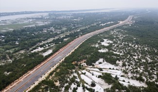
Figure 3: Perspective view of the project
VNCN E&C constructs the road embankment, asphalt pavement, drainage system, bridge and traffic safety system. Currently, VNCN E&C has been speeding up the construction of following works: For road, construction of pre-cast box culvert; For bridge, construction of D1000mm bored piles, construction of I24 girders.
The Company has been gathering manpower and equipment in order to promote the construction works ensuring the progress and quality of the project, aiming at putting the Project into use soon, creating the transport exchange among coastal regions, contributing to the socio-economic development of coastal regions of Quang Nam province.
Photos of the construction on the project site:

Figure 4: Surveying the road centerline

Figure 5: Bau Bang bridge construction site

Figure 6: Sinking steel casing of a bored pile

Figure 7: Pouring concrete into a bored pile of Bau Bang bridge
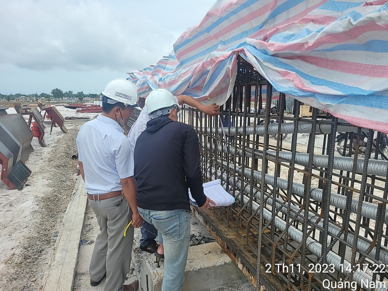
Figure 8: Accepting steel reinforcement of I24 girder

Figure 9: Concrete casting I24 girder

Figure 10: Dismantling formwork, curing I24 girder